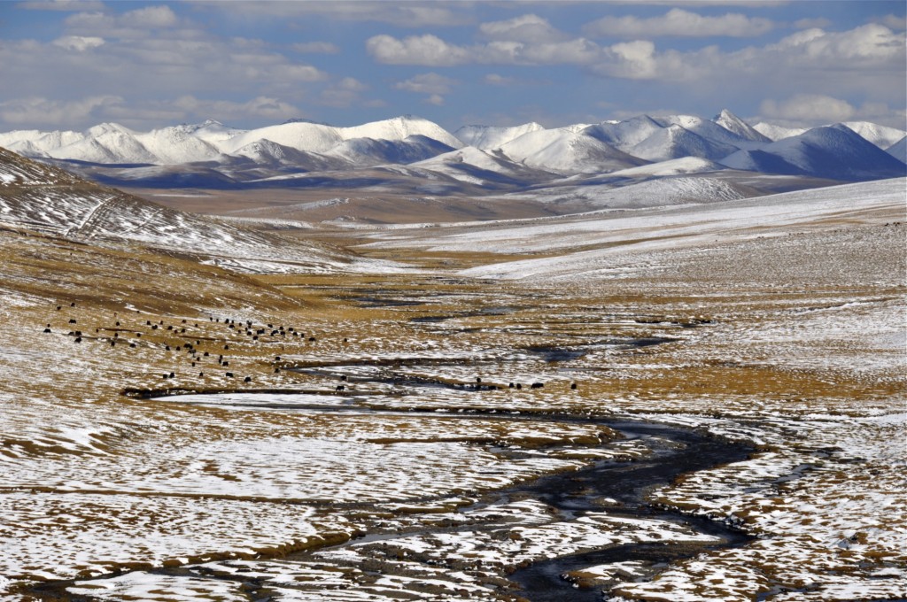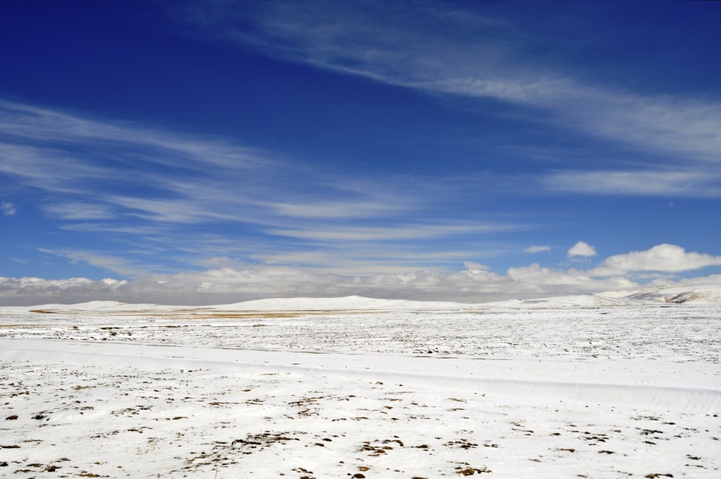
The Qinghai part of Kham: Yushu/Yulshul Tibet Autonomous Prefecture ཡུལ་ཤུལ་བོད་རིགས་རང་སྐྱོང་ཁུལ། in far southern Qinghai covers an area of 188,794 square kilometers (72,894 square miles). It is roughly the same size as the US state of Washington and about half the size of Germany. It has a population of around 295,000 with 97% of the population being Kham Tibetan. It has one of the highest percentages of Tibetan people anywhere on the Tibetan Plateau and has some of the best preserved Tibetan culture remaining. It is extremely remote being over 700 kilometers away from Xining and more than 1000 kilometers away from Chengdu and Lhasa. The average elevation of the prefecture is over 4000 meters with the highest point being Mt. Bukadaban, which rises to 6621 meters.
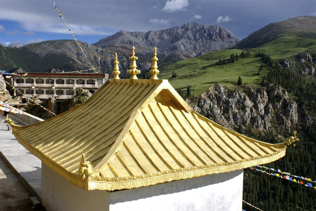
Gar Monastery གར་དགོན། in Nangchen county ནང་ཆེན་རྫོང་།
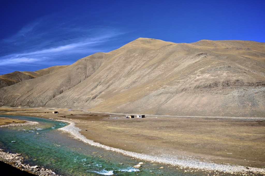
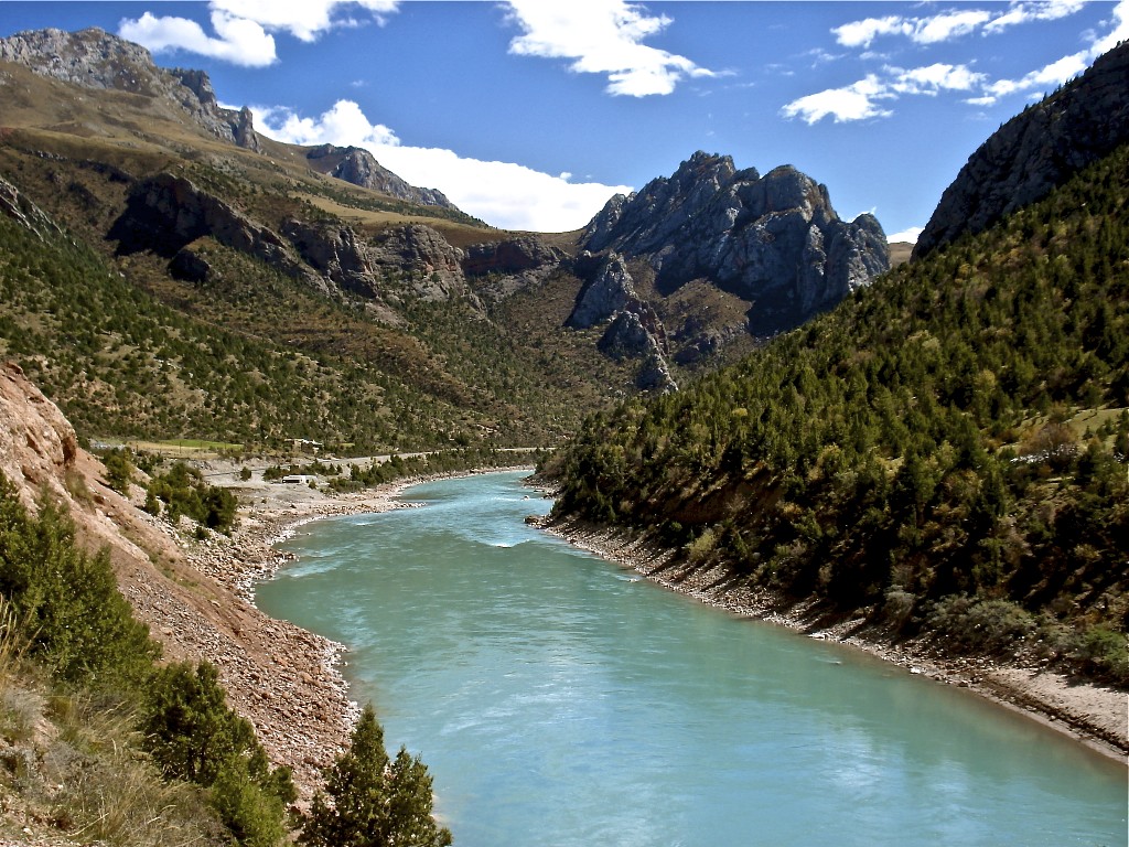
A main tributary of the Yangtze River in Drido county འབྲི་སྟོད་རྫོང་།
Yushu prefecture contains the headwaters of 3 of Asia’s longest rivers. The Yangtze (Dri Chu འབྲི་ཆུ་), the Yellow (Ma Chu རྨ་ཆུ་) and the Mekong (Dza Chu རྫ་ཆུ་) all have their beginnings in the prefecture. Most of the prefecture consists of high altitude grasslands lying at elevations between 4200 meters and 4800 meters. In the past, this region was nearly entirely nomadic, though now a large percentage of these herders have been relocated to small resettlement communities throughout the prefecture. Yak herding is still the most important way of life for the Tibetans in Yushu prefecture. Farming of high altitude barley, potatoes, and wheat is found in the fertile valleys in and around Jyekundo སྐྱེ་དགུ་མདོ་, the prefecture capital, and Sharnda ཤར་མདའ།, the county capital of Nangchen.
The far western portion of Yushu prefecture is an uninhabited nature reserve known as Kekexili 可可西里 in Chinese and A Chen Gang Gyab ཨ་ཆེན་གངས་རྒྱབ་ in Tibetan. It is also sometimes referred to by its Mongolian name of Hoh Xil. The Kekexili Nature Reserve covers an area of 83,000 square kilometers. It is the largest uninhabited region in China and the third largest uninhabited region on earth after the north and south poles. This region lies at an average elevation of 4800 meters and is permafrost. It is home to abundant wildlife including wild yaks, Tibetan antelope, white-lip deer, brown bears, snow leopards, black-necked cranes, wild donkeys and Himalayan marmots.
Well over 90% of the prefecture lies above the tree-line. The only exceptions are the Baizha and Jiangxi National Forests found in southern Yushu county and eastern Nangchen county. These dense evergreen forests consist of many logging communities, many of which are illegal.
The weather in Yushu can be quite extreme during the winter. The first snow in Jyekundo usually falls by mid-September and the last snow of the season usually is in early to mid-June. The northern counties of the prefecture can have snow and freezing temperatures all year round. The northern counties of Chumarleb and Drido often have winter temperatures that reach -25C to -30C. The southern counties of Yushu and Nangchen are a little milder with winter low temperatures reaching between -15C to -20C. Winters are generally dry and clear with abundant sunshine. Summers tend to be cool with the northern counties having highs between 8C and 12C and the southern counties having highs between 14C and 18C. Spring and fall can bring heavy snow to the region, especially in the higher elevations of northern Yushu prefecture. Every 5 to 7 years, heavy winter storms come leaving well over a meter of snow.
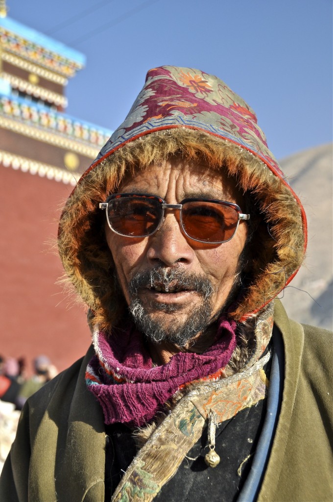
Khampa man from Jyekundo སྐྱེ་དགུ་མདོ་
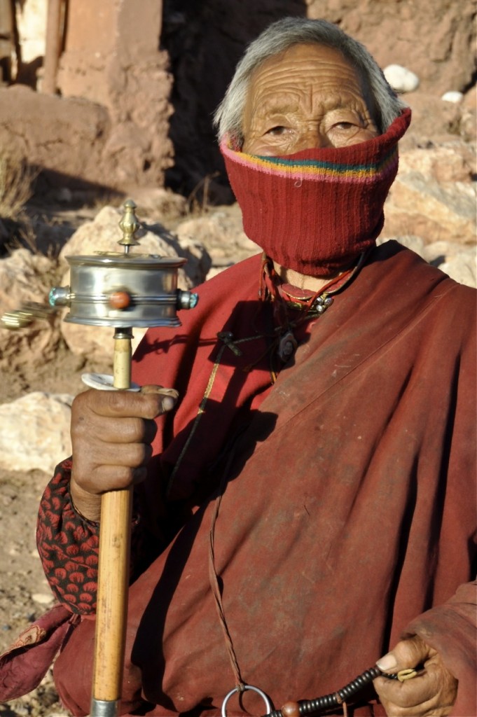
Kham Tibetan woman from Nangchen ནང་ཆེན་
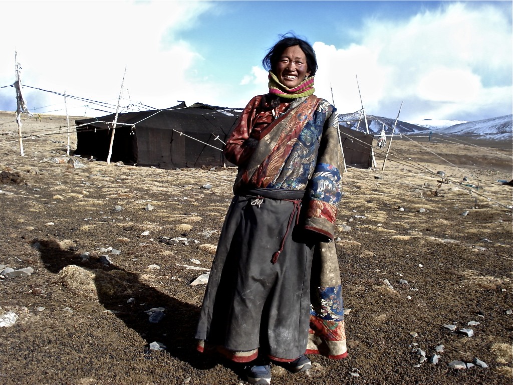
Nomad woman from Trindu county ཁྲི་འདུ་ in northern Yushu prefecture
Yushu prefecture is divided into 6 counties:
-
- Yushu/Yulshul 玉树/ཡུལ་ཤུལ་
- Nangqian/Nangchen 囊谦/ནང་ཆེན་
- Zaduo/Dzado 杂多/རྫ་སྟོད་
- Chengduo/Trindu 称多/ཁྲི་འདུ་
- Zhiduo/Drido 治多/འབྲི་སྟོད་
- Qumalai/Chumarleb 曲麻莱/ཆུ་དམར་ལེབ་
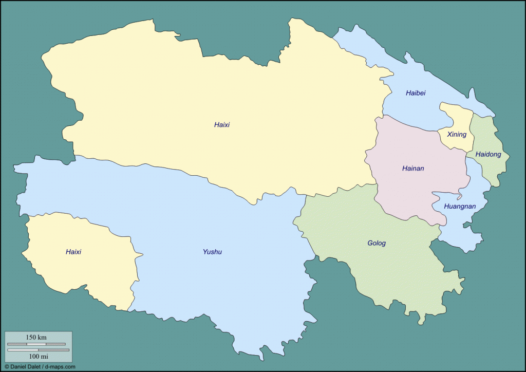
Map of Qinghai province showing Yushu Prefecture
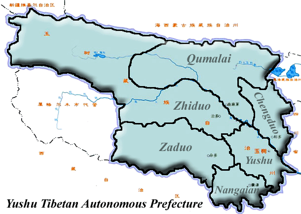
Yushu prefecture map from Plateau Perspectives www.plateauperspectives.org
The capital of Yushu prefecture is Jyekundo སྐྱེ་དགུ་མདོ་, known as Jiegu 结古 in Chinese. Jyekundo is the largest town in the prefecture and is located in Yushu county. On April 14, 2010, a 7.1 magnitude earthquake hit central Yushu county destroying much of Jyekundo and the surrounding area. Though the official death toll is only 2698, local government officials put the actual death toll at around 20,000. Over 85% of the buildings in Jyekundo were destroyed. As of January 2012, the majority of Jyekundo’s 80,000+ residents continue to live in government-given tents. Local government officials are optimistic that the rebuilding of the region will be completed by the summer of 2013.
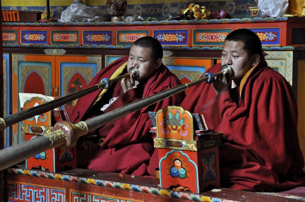
Monks in Domkar Monastery in Yushu ཡུལ་ཤུལ་
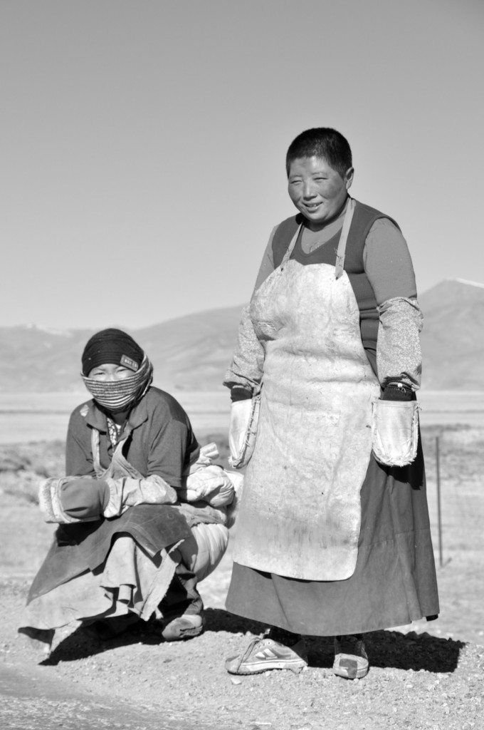
Nuns from Nangchen ནང་ཆེན་ on pilgrimage to Lhasa ལྷ་ས་
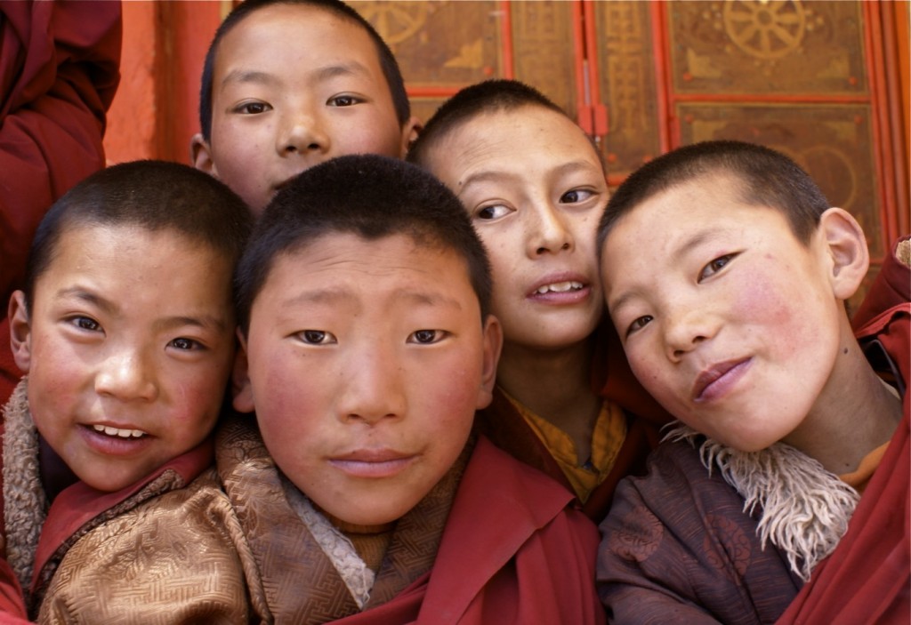
Young monks from Thrangu Monastery ཁྲ་འགུ་དགོན། in Yushu county ཡུལ་ཤུལ་
On August 1, 2009, the Yushu Batang Airport officially opened to the public. It was the first airport to open in Yushu prefecture. The airport lies at an elevation of 3950 meters and is one of the highest commercial airports in the world. It has regular weekly flights to Xining and Xi’an. There are plans to expand services to Lhasa and Chengdu. The airport is located 18 kilometers south of Jyekundo.
China National Highway 214 links Xining, the provincial capital of Qinghai, with Yushu prefecture. Since the Yushu Earthquake of 2010, work has been going on to upgrade this highway to a 4 lane expressway. Construction is expected to be completed by the end of 2013. Jyekundo is 821 kilometers south of Xining ཟི་ལིང་, while Sharnda ཤར་མདའ།, the capital of Nangchen county, is 985 kilometers south of Xining. Buses from Xining depart each day to all 6 county capitals of Yushu prefecture from the main long distance bus station. From Jyekundo, shared mini-van taxi’s depart throughout the day to the other 5 counties of Yushu prefecture as well as to other destinations within Yushu county.
There are also daily buses from Jyekundo to Chengdu, Sershul/Shiqu and Garze/Ganzi in Sichuan province as well as to Riwoche and Chamdo in the Tibet Autonomous Region. The train line to Lhasa goes through western Yushu prefecture, but doesn’t make any stops in the prefecture.
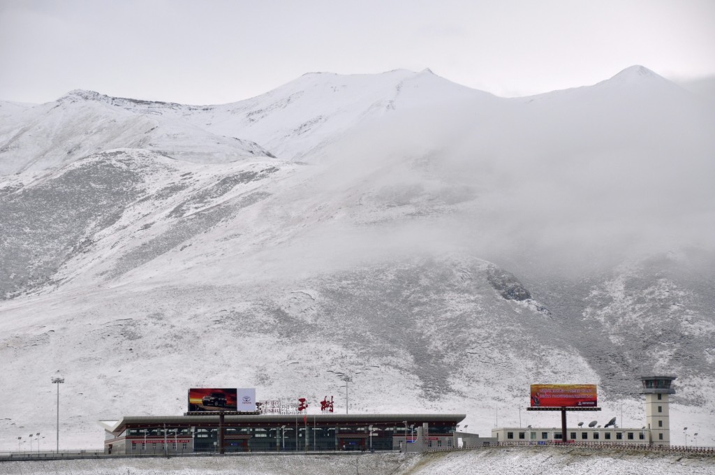
Yushu Batang Airport
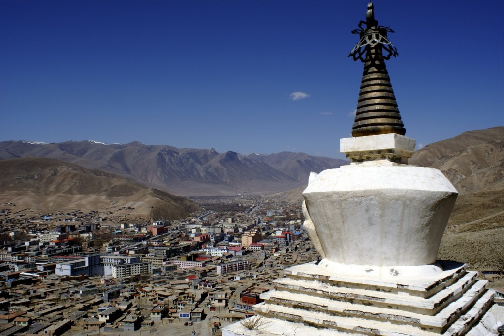
Overlooking Jyekundo སྐྱེ་དགུ་མདོ་ before the earthquake
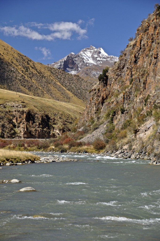
The holy mountain of Gado Jowa in Trindu county ཁྲི་འདུ་རྫོང་ in northern Yushu
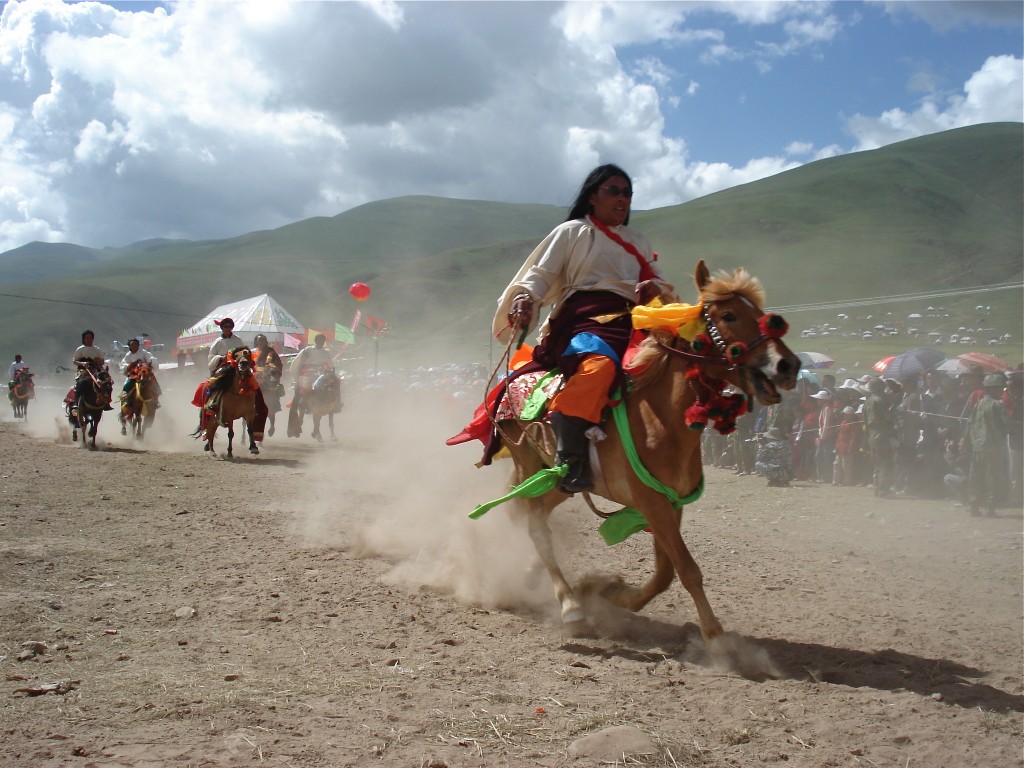
Racing during the Yushu Horse Festival
The annual Yushu Horse Festival typically takes place each year on July 25th and last for 5 days. The main horse festival has not taken place since the Yushu Earthquake, but could resume in 2012. In addition to the main horse festival, there are also smaller horse festivals that take place throughout the prefecture.
During Losar ལོ་གསར་, or Tibetan New Year, large amounts of Buddhist pilgrims go to one of the more than 350 monasteries found across the prefecture. The most popular destinations during Losar include the Gyanak Mani Temple རྒྱ་ནག་མ་ཎི་, Dhondrub Ling Monastery, the Princess Wencheng Temple and Gar Monastery. The Gyanak Mani Temple, located 6 kilometers east of Jyekundo, is the largest collection of carved prayer stones in the world. There are estimated to be over 2 billion carved prayer stones stacked over 3 meters high covering a 1 square kilometer area.
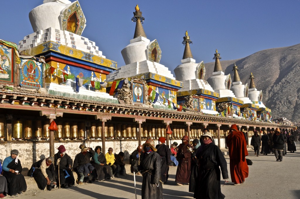
Pilgrims walking around the Gyanak Mani Temple རྒྱ་ནག་མ་ཎི་ outside of Jyekundo
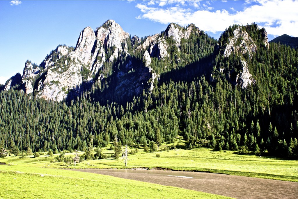
The Jiangxi Forest in eastern Nangchen county ནང་ཆེན་རྫོང་
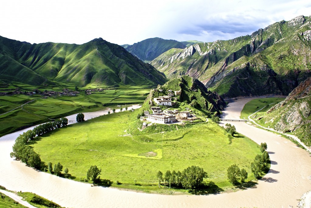
A remote monastery in Yushu prefecture during the summer
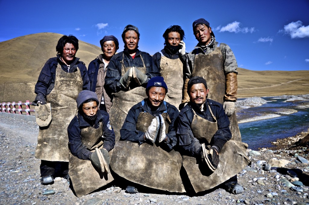
Buddhist pilgrims from Yushu ཡུལ་ཤུལ་ on their way to Lhasa ལྷ་ས་
Because of the remoteness of Yushu prefecture, relatively few travelers go there. However, it is one of the best kept secrets of the Tibetan Plateau. With Tibetans making up 97% of the population, Yushu offers travelers authentic, traditional Tibetan culture that is hard to find in other regions of Tibet.With dozens of peaks rising above 5000 meters, abundant wildlife, plenty of glacier fed rivers, remote nomad camps and lots of trails to explore, Yushu prefecture has everything an outdoors enthusiast could ever want.
The 6 county towns of Yushu prefecture are okay to spend a couple of days in, but the best places to see are in the remote and rugged countryside. There is not a lot written about this region in guidebooks so it is best to do some research before making the incredibly long journey to Yushu prefecture. If you have any questions about this area, feel free to contact me at thelandofsnows@gmail.com.
Losang བློ་བཟང་
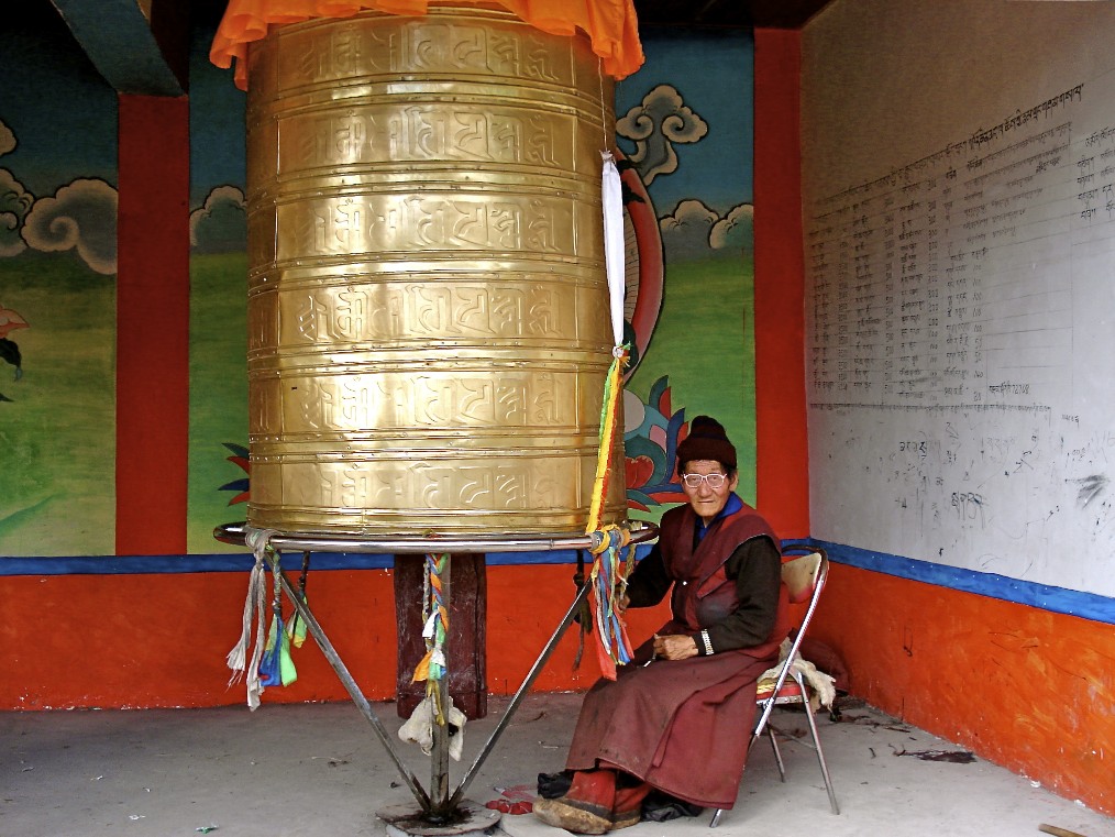
Monk spinning a large prayer wheel in Dzado county རྫ་སྟོད་རྫོང་ in southwest Yushu prefecture
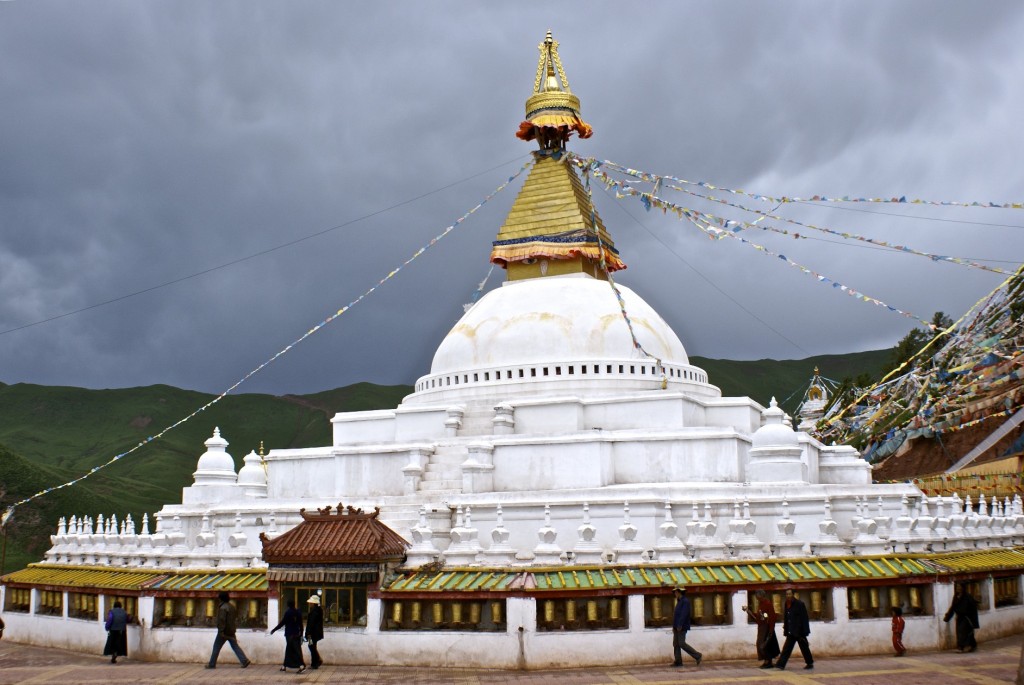
The very remote Trulshik Monastery འཁྲུལ་ཞིག་དགོན་པ་ in southern Nangchen county
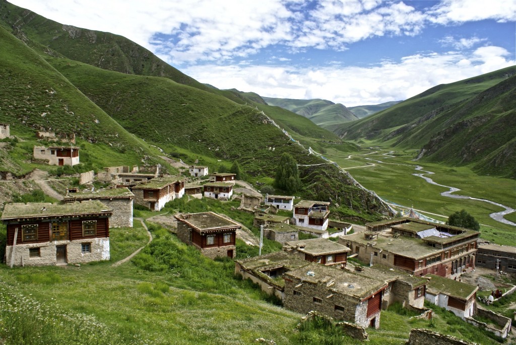
Surmang ཟུར་མང་ in southern Yushu county
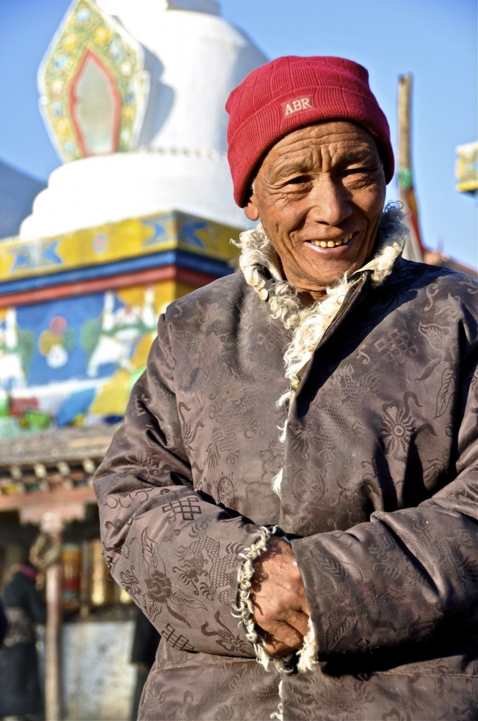
Khampa man from Yushu county ཡུལ་ཤུལ་རྫོང་།
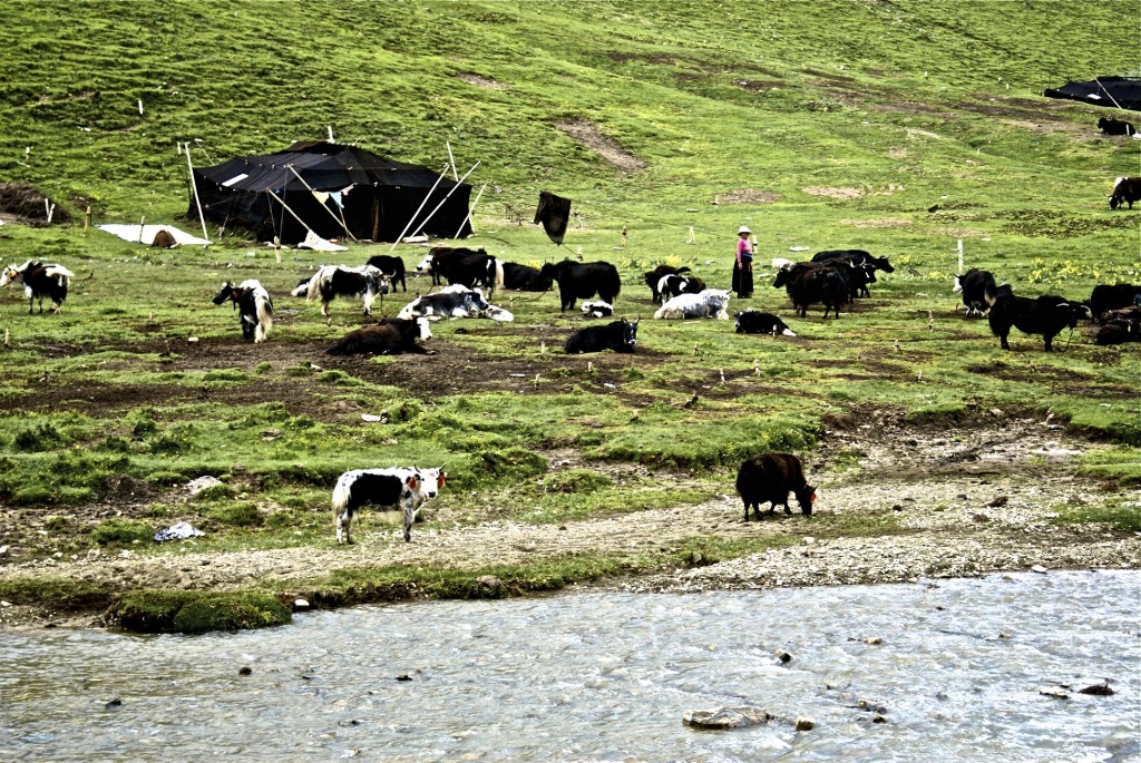
Nomads in a traditional yak wool tent in southern Yushu county
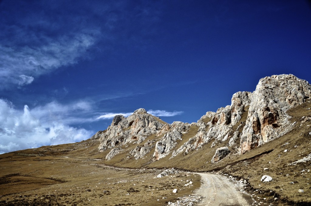
Many roads in Yushu prefecture are still rough and dirt
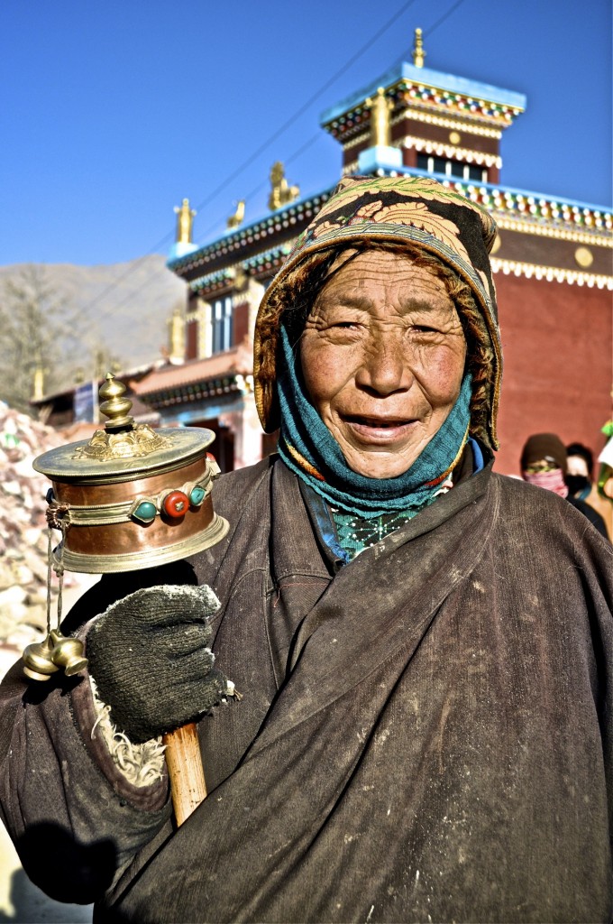
Tibetan woman from Yushu county ཡུལ་ཤུལ་རྫོང་།
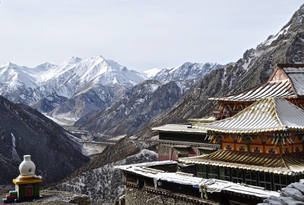
Dana Monastery རྟ་རྣ་དགོན་ in Nangchen county, one of the most remote monasteries in Yushu
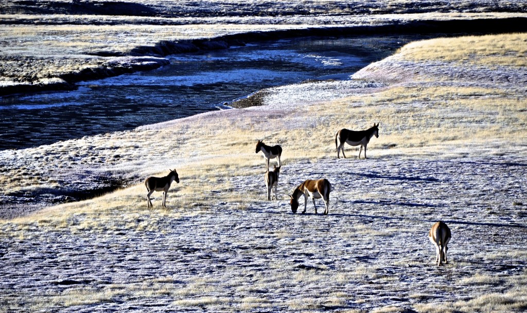
Wild donkeys, known as Gyang རྐྱང་, grazing in western Yushu prefecture
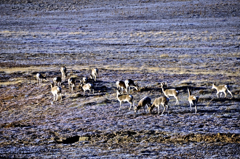
Gazelle grazing in Yushu
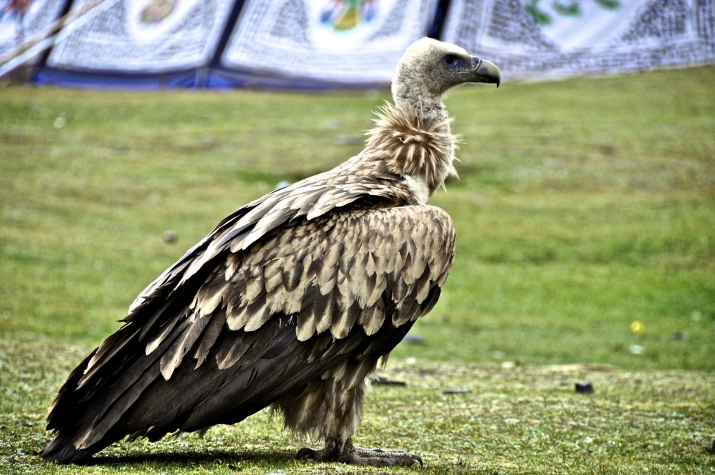
Up close with a Himalayan Griffon in Chumarleb county ཆུ་དམར་ལེབ་རྫོང་།
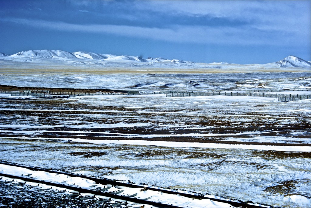
The Lhasa train line passing through the Kekexili Nature Reserve ཨ་ཆེན་གངས་རྒྱབ་ in uninhabited western Yushu prefecture

